La Palma Canary Island - "Hiking paradise, daytours, sightseeing" |
 | |
| [Photobook La Palma] [Photo catalogue] [Photocalendar] [Travelforum] [Travelreports around the world] | ||
La Palma Canary Island - "Hiking paradise, daytours, sightseeing" |
 | |
| [Photobook La Palma] [Photo catalogue] [Photocalendar] [Travelforum] [Travelreports around the world] | ||
The Canary Island La Palma is a paradise for hikers. There are thousands of trails of varying difficulty, all in very good condition and with excellent signage.
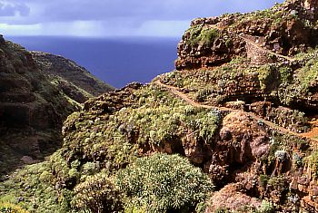
Coastal trail in the lonely northwest of La Palma from Garafia to El PalmarAbove the church on the left end of the village square (Parking at the pharmacy), a very beautiful coastal trail starts (part of the GR 130) first through the Barranco de la Luz with high lava walls and very nice vegetation (dragon trees), then right passing a lonely farm with an old dragon tree. From here a magnificent panorama trail runs parallel to the coast to El Palmar, an abandoned nest, then continue to El Tablado.Either reverse the tour in El Palmar or El Tablado or take a taxi back. Hiking times: Garafia -> El Palmar circa 1 1/2 hours, El Palmar -> El Tablado additional 4 hours. | 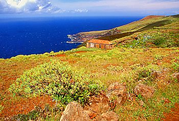 |
 |
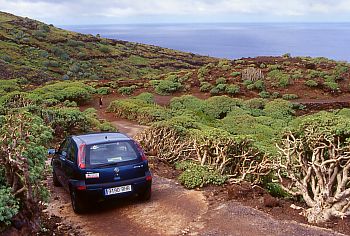
Punta de Santo DomingoJust outside of Garafia the dirt road leads steeply down to the sea and offers a magnificent view of the steep cliff coast and the roaring sea.To protect the chassis of the rental car, it is advisable to walk the last part to Punta de Santo Domingo. |
 |
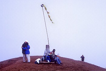
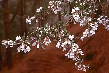
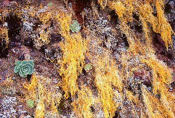
Ruta de los VolcanosStarting point of the Ruta de los Volcanos is the car park at the Refugio El Pilar (1450 m). The breathtaking tour takes us in about 6 1/2 hours to the volcanic Crater del Hoyo Negro, the Crater del Duraznero with the jet-black volcanic crater of El Fraile, Volcán Deseada I and II (1949 m), Volcán Martin (1602 m) downto the village Fuencaliente (722 m). The way back we go by taxi.Caution: This challenging hike you should start only when the weather is absolute stable, otherwise strong wind and fog may force you to turnaround. Start the hiking tour as early as possible in the morning because of clowds and thick fog rise soon over the Cumbre. What starts in the bright sunshine, can very quickly degenerate into icy fog. Pico Birigoyo (1807 m)The well-maintained path leads first through beautiful pine forests, then through fields of volcanic ash (two steps forward, one back) up to the elongated summit of the Pico Birigoyo.Einzigartiger Vegetation with stone plants on the steep ascent flank. |
 |
 |  |
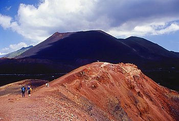
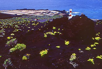
Volcán Teneguía1971 erupted for the last time, Volcán Teneguía is the youngest volcano on La Palma.The walking from Fuencaliente via the Volcán San Antonio and the Volcán Teneguía downto the lighthouse Faro de Fuencaliente is the most beautiful hiking tour on La Palma Island. | |
 |  |
|
Afterwards you can strengthen with a good fish dish in the Kiosko Punta Larga than or equal to continue for swimming at the Playa y Bajas de la Zamora. Again, there is a Kiosko serving very good and inexpensive seafood. Stairs lead steeply down to the wild sea. | 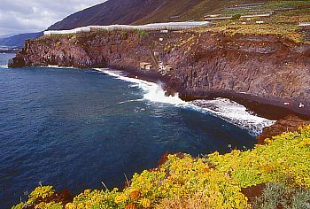 |
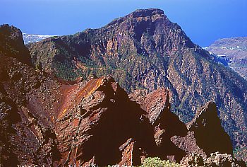
Caldera de TaburientePico de la Nieve (2239 m)The Pico de la Nieve (Snow Mountain) provides a spectacular view into the eruption crater Caldera de Taburiente and on the east coast of La Palma.From the road to Santa Cruz Roque de los Muchachos (LP-1032), a forest trail branches off at km 22.5 to the left. Those who dare can still continue on the narrow forest road a piece, thus saving 3/4 hours. |
 |
 |
|
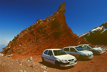
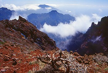
Roque de los Muchachos (2426 m)From the parking lot at the summit of the Roque de los Muchachos you can walk along the caldera rim, enjoying the magnificent views in all directions and watch the clouds play.Mirador Los Brecitos (1150 m)The Mirador Los Brecitos is the best starting point for hiking into the Caldera Taburiente. Access is via Los Llanos (the 16 km long track is sometimes so bad that a 4WD vehicle would be perfect). The target of the walk is the Roque del Huso, a with pine trees overgrown needle shaped rock. Here you can let effect the massive rock walls on you. However, the prerequisite is a super clear day and get up early, otherwise you just wander around in thick fog. |
 |
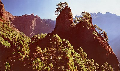 |
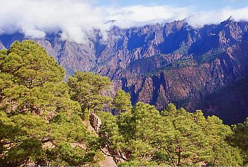 |
Mirador de la CumbrecitaAt the parking lot on Mirador de la Cumbrecita (1287 m) starts a very nice one-hour round trip to the Mirador de las Chozas. Best start from the Mirador de las Chozas, there we have a verygood insight into the Caldera de Taburiente.Start in the early morning, as the small parking lot fills up quickly. |
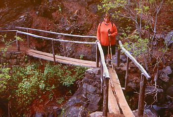 |
Smugglers bay (Poris de Candelaria)Huge rocky bay with a few white fisherman's cottages. In the late afternoon the sun shines deep into the bay up to a few cottages, otherwise the Smugglers bay is very grim. The luminous turquoise sea is perfect for swimming. |
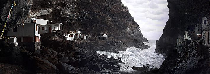 |
| The starting point is Tijarafe on the west coast. For the descent you need 1 1/2 hours, for the way back you must calculate 2 1/2 hours. The difference in altitude is 650 m. Theoretically, you can also drive by car to the banana plantation and save about 1 hour walk. Even more convenient is to join a boat tour from Tazacorte :o)) |
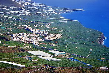
Mirador del TimeHere time could have really been stopped.Magnificent view point above Los Llanos and Tazacorte, lovely Café, super cakes and sweets. |
 |
Mirador de la ConcepciónFantastic views from the Mirador de la Concepción over Santa Cruz, easily reachable by car. | |
| Still questions - then please join our Travelforum La Palma | next page |
Page is currently updated :o))
© made4you